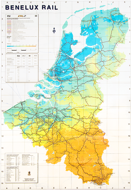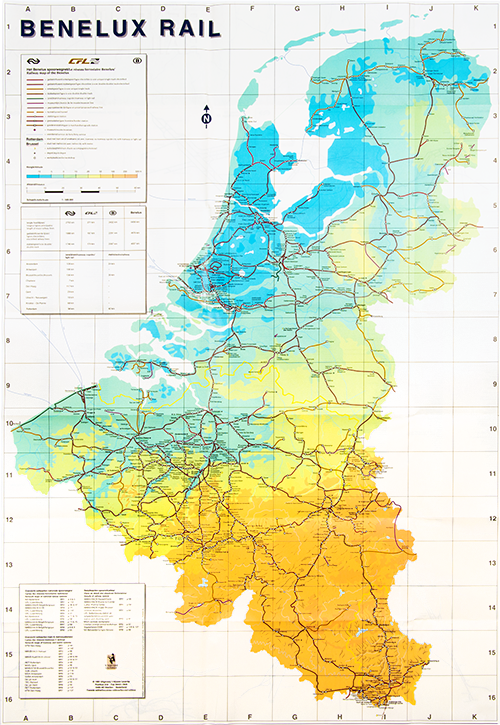

Benelux Rail historical map

This physical map shows the situation of the Benelux railway network in the mid-1990s, including the important height differences that trains have to master. All stations, museum lines, route details are clearly shown in terms of function and implementation and much more. Useful as preparation for a trip by the globetrotter with an open eye and inspiring for the armchair traveler.
Benelux Rail historical map. Physical railway map 1:500,000. Folded 90 x 62 cm printed on one side only. A register with all over 1400 stations and much more can be found in the book Benelux Rail 8 pages 139-143. Drawn in full colour by Chis Peeters. Dutch, French and English legends. Third edition 1995. ISBN/EAN 978-90-73280-05-2
€ 7,50
some points of sale
boekhandeldouwes.nl
devriesvanstockum.nl
bruna.nl
donner.nl
spoorwegboekhandel.nl

See inside:

